On Wednesday evening, Hungarian time, Google held its first large-scale presentation of the year, within the framework of which many new hardware and software innovations were presented. For example, they unveiled their first bendable phone, the Pixel Fold, but the iPhone SE also got a great competitor in the form of the Pixel 7a.
In addition, they have made their AI-based language model, Google Bard, available to everyone, and implemented AI in the world’s most popular search engine, Google Search. However, that’s not all.
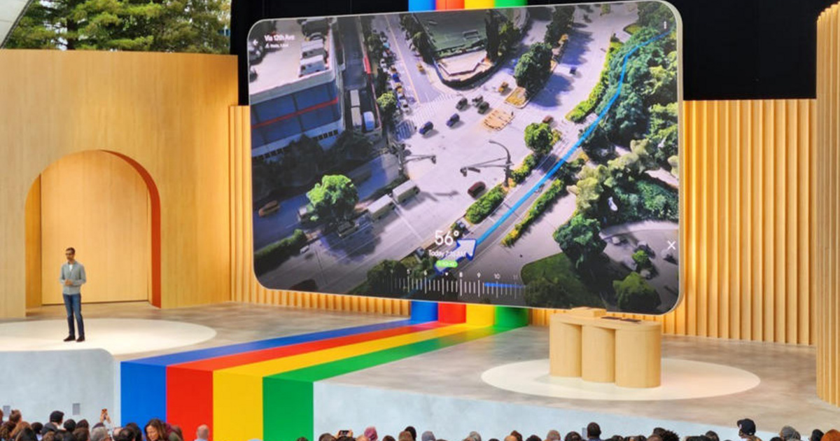
The American company has completely rethought what the Maps application should look like in 2023, so they have given Google Maps completely new functionality. Obviously, the most interesting feature is the function called Immersive View for Routes, thanks to which routing becomes much easier.
Billions of Street View and aerial imagery analyzed
The comprehensive view of roads is created thanks to artificial intelligence and machine learning; Google says it analyzed billions of Street View and aerial imagery to create the service. But what exactly is the overall width of the roads? The question may arise.
The new Google service is essentially a digital model of the world’s most famous cities, thanks to which, unlike before, we can now get multi-dimensional directions. In the future, when planning a route, you will not only see the map, but also a 3D version of the city, so that you can orient yourself more easily.
The company also said that by incorporating a new time slider, you’ll be able to see what traffic is generally like at a particular time of day on the route you’re about to take — but the new function can also simulate weather conditions.
In the coming months, the search giant will present Immersive View in Amsterdam, Berlin, Dublin, Florence, Las Vegas, London, Los Angeles, New York, Miami, Paris, Seattle, San Francisco, San Jose, Tokyo and Venice.


