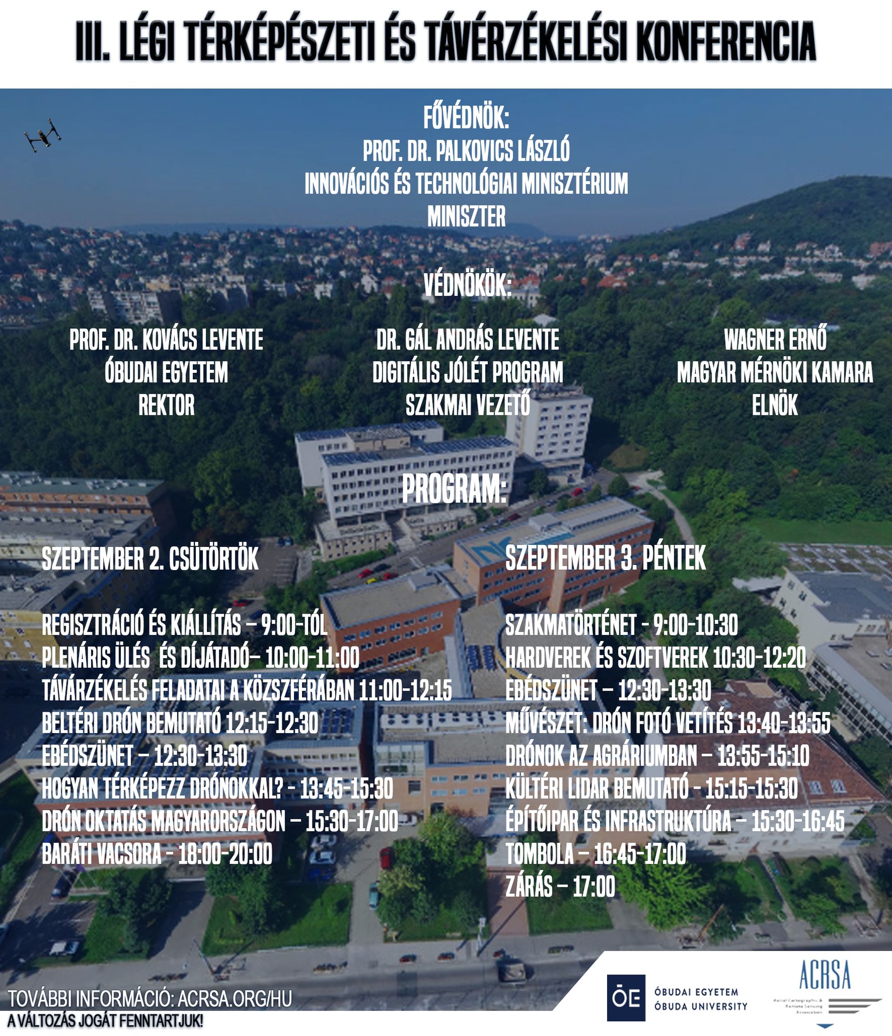
This year, OBuda University will host Hungary’s most impressive drone event, the Aerial Mapping and Remote Sensing Conference, which represents the latest technology for precision flight and mapping.
This year’s event is primarily for drone pilots, cartographers and surveillance surveyors familiar with the profession, as well as agricultural and other imaging survey professionals.
Young people can learn about the sectors of the region, with the latest equipment, methods and case studies, gain insight into the most important tasks of aerial survey and micro-management and learn about the legal background of operations.

Following the inauguration of the Ministry of Innovation and Technology, the Professional Leader of the Digital Sponsorship Program, the President of the Hungarian Chamber of Engineers and the Rector of the University, the ceremonial drone display and medals will be followed by case studies by the most successful drone and aircraft survey organizations.
This follows the introduction of Hungarian drone education organizations, and then ends the day with informal talks. On the second day, ordinary people can see a professional history exhibition and entries for the aerial photography competition, while the professional training will be in hardware (drones, imaging and positioning equipment, intelligent controllers) and software section, agricultural section and LiDAR presentation, followed by professional applications section In construction and public services.
Conference site: https://acrsa.org/conference/


