Along Canada's east coast, the flow of sea ice organized into eddies was visible in the first days of February 2024. This special scene was also seen by the automatic sensors of the Terra satellite and an astronaut traveling aboard the International Space Station. Immortalized on February 3.
In the Northern Hemisphere, the extent of sea ice reaches its annual maximum (this occurs in February), and ice also appears in the Labrador Sea, located in the northern part of the Atlantic Ocean, between Canada and Greenland. The Labrador Sea is connected to the Arctic Ocean via numerous bays and straits. Seawater filled with small pieces of ice has gradually separated from the slowly shrinking edge of persistent sea ice off the coast of Newfoundland and Labrador. Ocean currents can turn ice into eddies, and such eddies often arise at the boundaries between cold and warm seawater. This occurs mostly in spring and fall, due to differences in water density. However, the birth of ice eddies still requires special conditions: seawater must be warm enough to break up the ice, but cold enough to prevent it from melting.
Swirling sea ice as captured by the Terra satellite
Source: Earth Observatory
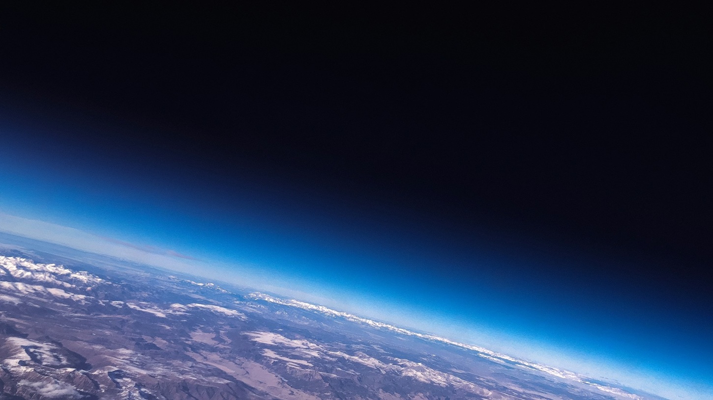
These swirls also caught the attention of an ISS astronaut, and he captured them at the same time as the Terra satellite – from a slightly different viewpoint, so in this case our planet's atmosphere is also visible on the top edge of the image.
Sea ice growth in January 2024a It was slower than usual In the Arctic, and therefore also in the Labrador Sea. At this time of year, the coasts of Newfoundland and Labrador, as well as the Gulf of St. Lawrence between them, are usually still covered in ice, but at the end of January this year, the water surface was almost completely open for most of the area.


