France refused to provide Ukraine with information that would allow its warplanes and drones to take advantage of low-flying conditions and fly undetected in Belarusian airspace.
Known as DTED (Digital Terrain Elevation Data), digital maps show terrain in detail, but also list obstacles such as high-voltage transmission lines or wind turbines.
It includes all the tactical data necessary for flying at extremely low altitudes, at night or in low visibility conditions
Such maps allow aircraft to remain virtually undetected during deployment, a military source said.
A source speaking to Le Monde also alluded to this With this data, Ukraine will be able to strike at military facilities in Belarus Which used to attack Ukrainian territory.
To justify the refusal, Paris argued that its support would be unwavering as long as it exclusively defended Ukrainian territory, but There is no question of participation in operations carried out in foreign lands. The sources add that this cannot be Ukraine’s first attempt of this kind and that it has already tried to obtain the necessary maps from many supporters.
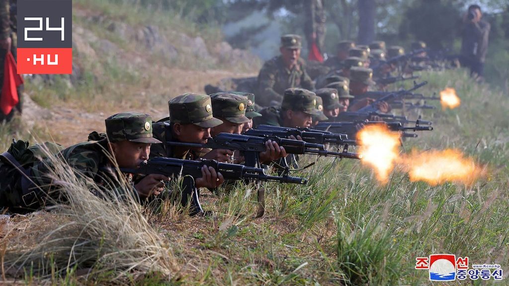
Cover image is illustrative. Cover image source: Getty Images

